Skip to content
Search for:
Harriet Tubman
About Harriet Tubman
Myths & Facts
Tubman Visitor Center
National Park
The Byway
About the Byway
Tours
FAQs
Online Map
Browse All Sites
Plan Your Visit
Getting Here
Lodging Options
Dining Options
Things to do
For Groups
Business Partners
Itineraries
Byway Map & Guide
News & Events
Contact Us
Facebook
Twiter
Email Us
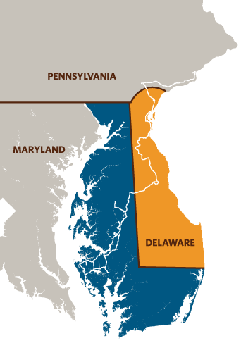
Locator-Map
Locator-Map
danielled6514
2017-01-23T20:35:50-05:00
Page load link
Go to Top