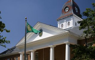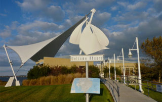
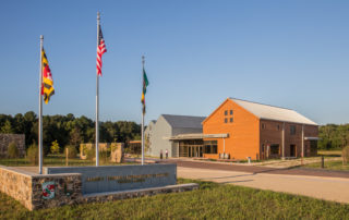
1. Dorchester County Visitor Center
danielled65142023-07-04T07:34:27-04:001. Dorchester County Visitor Center
Information and Orientation for the Journey
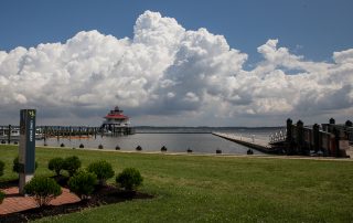
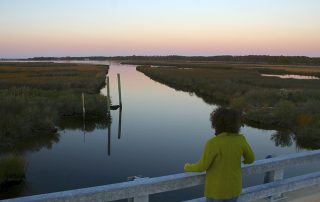
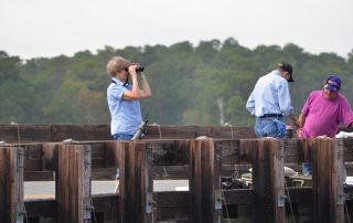
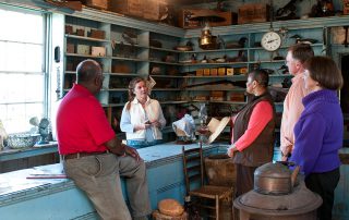
Overlooking the Choptank River, the Dorchester County Visitor Center is the perfect place to begin your byway adventure. Inside the center, an exhibit provides background information on Harriet Tubman and Underground Railroad activity in the area. Knowledgeable staff can assist you in planning your tour and will provide information on events, accommodations, dining opportunities, shopping, and outdoor experiences.
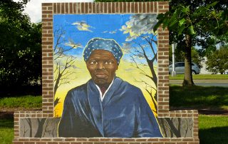
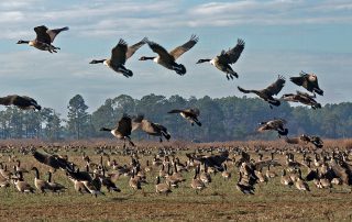
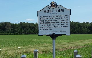
In 1608, English Captain John Smith met Native Americans here when he explored the Chesapeake Bay. As the colony flourished, so did demand for cheap labor. In 1664, the General Assembly codified a system of slavery that for 200 years supported an economy based on the labor of enslaved workers. In time, Dorchester’s proximity to free states made it a hotbed of Underground Railroad activity, until emancipation came to Maryland slaves at the end of the Civil War in 1864.
Please visit the Dorchester County Office of Tourism’s website at VisitDorchester.org to learn how to make the most of your time while in Dorchester County, including information on local lodging, dining, events, history, shopping and more.
Information
Address
2 Rose Hill Place
Cambridge, MD 21613
Open Monday-Friday, 8:30am to 4:30pm; Saturday and Sunday, 10am-2pm
410-228-1000
VisitDorchester.org
GPS Coordinates: 38.570851,-76.064363
Practical info
- Restrooms
- Maps
- Exhibits
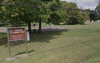
- Playground
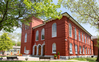
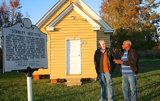
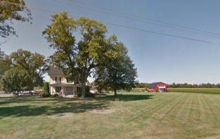

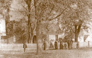
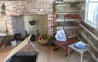
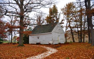
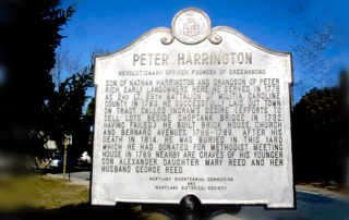
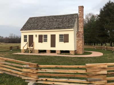 William Still’s mother Sidney and four of her children lived in a house similar to this on Alexander “Saunders” Griffith’s plantation. Her husband, Levin Still, had been set free in 1798 by his young enslaver and resettled in New Jersey, hoping to bring his family there. Around 1806, Sidney escaped with her four children, but was soon recaptured.